AI-Based Real-Time Forest Alert System
- 04 May 2025
In News:
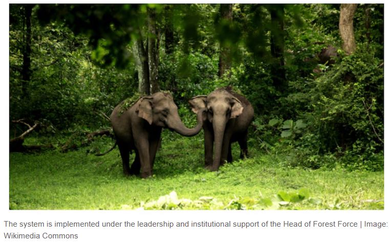
Madhya Pradesh has become the first state in India to implement an AI-based Real-Time Forest Alert System (RTFAS), marking a significant leap in leveraging technology for sustainable forest management.
Key Highlights
- The AI-based Real-Time Forest Alert System integrates satellite imagery, machine learning, and mobile app feedback for proactive forest monitoring.
- The system is currently being piloted in five forest divisions: Shivpuri, Guna, Vidisha, Burhanpur, and Khandwa—regions with high incidences of encroachment and deforestation.
- Developed using the Google Earth Engine, the system analyses multi-temporal satellite data to detect land use changes, such as:
- Encroachment
- Tree felling
- Construction
- Agricultural expansion
Features of the AI System (RTFAS)
- Custom AI Model: Detects forest degradation by comparing satellite images from three different dates.
- Real-Time Alerts: Sent to forest staff via a mobile application, enabling instant field verification with:
- GPS-tagged photographs
- Voice notes
- Geo-fencing tools
- Interactive Dashboard: Displays live alerts categorized by beat and region with filters for area, density, and time.
- Data Enrichment: Includes indices such as:
- NDVI (Normalized Difference Vegetation Index)
- SAVI (Soil Adjusted Vegetation Index)
- EVI (Enhanced Vegetation Index)
- SAR (Synthetic Aperture Radar)
Forest Status in Madhya Pradesh & India
- Madhya Pradesh:
- Has the largest forest cover in India: 85,724 sq. km (India State of Forest Report 2023)
- Also reported the highest deforestation: 612.41 sq. km lost in 2023
- India:
- Forest and tree cover: 25.17% of total geographical area
- Below the 33% target set by the National Forest Policy, 1988
Role of Technology in Forest Conservation
Application Technology Used
Forest Monitoring AI + Satellite imaging (e.g., RTFAS)
Forest Fires AI cameras, thermal sensors, satellite constellations (e.g., FireSat), drones
Encroachment Detection Satellite alerts with 2–3 day response time
Human-Wildlife Conflict AI camera traps, GPS tracking, RFID tags, geofencing
Afforestation Green bots for planting and monitoring tree growth
Biodiversity Monitoring Acoustic AI (e.g., Rainforest Connection), Environmental DNA (eDNA)
India’s Initiatives for Sustainable Forest Management
Government Initiatives:
- Green India Mission: Increased forest cover by 0.56% (2017–2021)
- National Agroforestry Policy (2014): Promotes tree farming on private lands
- CAMPA (Compensatory Afforestation Fund): Reforestation of diverted forest lands
- Trees Outside Forests in India (TOFI): Involves private stakeholders in increasing green cover
Community & Corporate Involvement:
- CSR-driven plantations by auto, cement, and energy sectors
- Agroforestry: Integrates timber, fruit, and medicinal plants with crops
- Carbon Credit-linked Afforestation