Anavaran Portal
- 12 Mar 2026
In News:
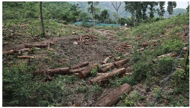
- Recently, the Forest Survey of India (FSI) discontinued the AI-based Anavaran Deforestation Alert System, which had been issuing fortnightly alerts to states on forest cover loss.
- The portal has not been updated since November 2025, and state forest departments reportedly stopped receiving alerts thereafter. The system had been functioning as a pilot project, and its continuation is currently under review.
- The halt of the alert system has raised concerns among forest officials and environmental experts as it was considered an important near-real-time monitoring tool for detecting deforestation and guiding field inspections.
About the Anavaran Portal
- The Anavaran Deforestation Alert System was launched in January 2024 to strengthen forest monitoring in India through advanced geospatial technology and artificial intelligence. It aimed to provide location-specific alerts on forest cover loss every 15 days, enabling state forest departments to conduct targeted ground verification and enforcement actions.
- During its operational period from January 2024 to October 2025, the system generated 12,351 deforestation alerts, averaging about 561 alerts per month, which increased to over 1,000 alerts per month during the peak deforestation season between November and March.
- The alerts helped authorities detect potential activities such as illegal logging, encroachment, and land-use change in forest areas, enabling quicker administrative responses.
Technology Used in the System
The Anavaran system relied on advanced remote sensing and data-processing tools to monitor forest cover changes.
- Google Earth Engine (GEE): The portal was developed on the cloud-based geospatial platform Google Earth Engine, which enables large-scale processing of satellite imagery.
- Sentinel-2 Satellite Data: High-resolution optical images from the Sentinel-2 satellites were used to detect vegetation loss and land-cover changes.
- Sentinel-1 Synthetic Aperture Radar (SAR): Radar data from Sentinel-1 satellites was integrated to monitor forests even during cloudy and monsoon conditions, when optical satellite imagery becomes less effective.
Through machine-learning algorithms, the system analysed these datasets to identify potential forest cover changes and automatically generate alerts for authorities.
Forest Survey of India (FSI)
The Forest Survey of India is the premier national organization responsible for monitoring forest resources in the country. It functions under the Ministry of Environment, Forest and Climate Change.
- Established: 1 June 1981
- Predecessor: Pre-investment Survey of Forest Resources (PISFR), a project initiated in 1965 with support from the FAO and UNDP.
- Mandate: Assessment and monitoring of forest resources, research, training, and technical support to states.
- Key Publication: The India State of Forest Report (ISFR), published biennially since 1987, which assesses forest and tree resources using remote sensing data and the National Forest Inventory (NFI).
According to the latest ISFR assessment, India’s forest and tree cover stands at about 8,27,357 sq km (25.17% of the geographical area).