ISRO’s CARTOSAT-3

- 02 Apr 2025
In News:
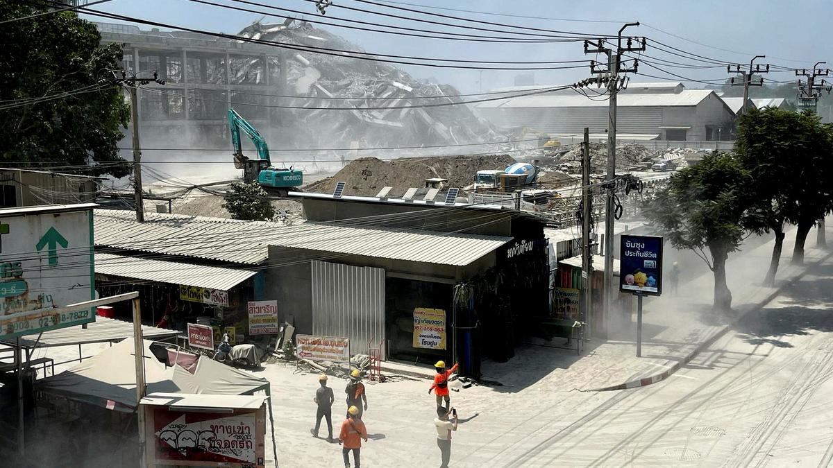
Recently, a 7.7 magnitude earthquake struck Myanmar near the Sagaing-Mandalay border, causing severe damage in key cities such as Mandalay and Sagaing. The Indian Space Research Organisation (ISRO) used its advanced Earth observation satellite CARTOSAT-3 to assess the destruction via high-resolution post-disaster imagery.
CARTOSAT-3: An Overview
- Developer: ISRO
- Launched by: PSLV-C47
- Mission Type: Third-generation agile Earth observation satellite
- Successor to: IRS (Indian Remote Sensing) series
Key Specifications:
Feature Details
Resolution Panchromatic: 0.25 metres (sharpest civilian)
Orbit Altitude 509 km (Sun-synchronous orbit)
Inclination 97.5°
Weight 1,625 kg
Technologies Agile cameras, advanced onboard computers, high-speed data transmission
Commercial Use
- First commercial order executed by NewSpace India Ltd (NSIL), ISRO’s commercial arm.
Applications of CARTOSAT-3
- Disaster Management: Monitoring and assessing damage from earthquakes, floods, and landslides
- National Security & Strategic Operations: Surveillance and intelligence (used in 2016 LoC surgical strikes and 2015 Myanmar-Manipur ops)
- Urban & Rural Planning: Infrastructure development, land-use mapping, and road networks
- Environmental Monitoring: Coastal regulation and land-use changes
- Cartography and Remote Sensing: High-precision geospatial mapping and terrain analysis
Cartosat and Other ISRO Satellite Series
Satellite Series Focus Area
Cartosat-1 to 3 High-resolution Earth imaging for urban/rural planning
RISAT Radar-based imaging (all-weather surveillance)
Oceansat Oceanography, weather, and marine research
INSAT &Megha-Tropiques Atmospheric and climate monitoring
