Synthetic Aperture Radar (SAR)
- 19 Jun 2025
In News:
Recently, NASA said the NASA-ISRO SAR mission had arrived at ISRO’s spaceport in Sriharikota
What is Synthetic Aperture Radar (SAR)?
Synthetic Aperture Radar (SAR) is an advanced remote sensing technology used to generate high-resolution images of Earth's surface, irrespective of weather or lighting conditions.
- Unlike optical sensors that rely on visible light, SAR systems emit microwave pulses and measure the reflected signals (echoes) from the ground, ocean, ice, or structures.
- These echoes are then processed to create detailed images using advanced signal processing techniques.
How SAR Works
- Antenna System: Traditionally, larger antennas yield better resolution, but they are impractical for satellites. SAR overcomes this by using a small antenna mounted on a moving platform (like a satellite), capturing echoes from different positions.
- Through precise timing and phase information, the system simulates a much larger "synthetic" antenna, enhancing image resolution without the need for large hardware.
Advantages of SAR
- All-Weather, All-Time Imaging: SAR can operate day and night and penetrate clouds, smoke, and light rain, ensuring uninterrupted data collection.
- Material Differentiation: Various materials (soil, water, vegetation, buildings) reflect microwaves differently, enabling SAR to detect subtle changes not visible through optical imagery.
- Large Area Mapping: Mounted on satellites, SAR can map swaths of land hundreds of kilometres wide in a single pass.
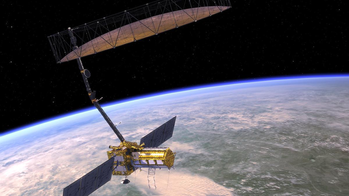
NASA-ISRO SAR (NISAR) Mission
- Joint Collaboration: A flagship Earth-observing mission between NASA and ISRO.
- On June 12, 2025, NASA confirmed that the NISAR satellite had arrived at ISRO’s spaceport in Sriharikota for its scheduled launch.
Mission Objectives
- NISAR will map nearly all of Earth's land and ice surfaces twice every 12 days.
- It aims to provide unprecedented data on Earth’s environment, including:
- Ecosystem disturbances
- Land use changes
- Ice sheet dynamics
- Natural disasters (earthquakes, landslides, floods)
Significance
- Will support climate change monitoring, disaster response, and agricultural planning.
- It represents a major step in India’s and the U.S.'s scientific diplomacy and technological cooperation.