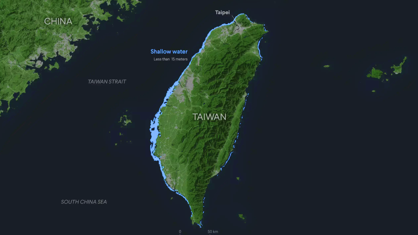
Taiwan Strait
- 13 Apr 2025
In News:
China has recently launched aggressive military drills in the Taiwan Strait, heightening tensions in the region and drawing international concern over the stability of the Indo-Pacific.
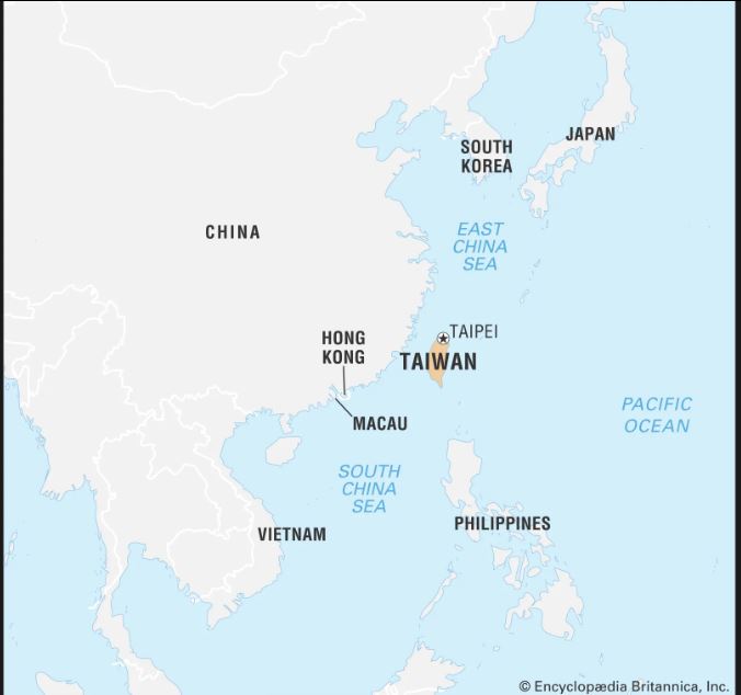
About Taiwan Strait
- Location: Separates mainland China from the island of Taiwan.
- Connectivity: Links the South China Sea to the East China Sea.
- Width:
- Widest point: ~180 km
- Narrowest point: ~130 km
- Depth: Average of about 70 meters.
- Key Islands: Includes the Pescadores (Penghu) Islands, administered by Taiwan.
- Historical Name: Known as Formosa (meaning “Beautiful”) by Portuguese explorers in the 16th century.
Strategic and Economic Importance
- Maritime Trade Route:Nearly 40% of the world’s container ship traffic passes through the Taiwan Strait annually.
- Fisheries:One of China’s richest fishing zones, home to over 100 economically significant fish species.
Geopolitical and Historical Context
- Post-1949 Divide:Became a de facto boundary after the Nationalist government retreated to Taiwan post-Chinese Civil War.
- Taiwan Strait Crises:First Crisis (1954–55) and Second Crisis (1958) involved artillery attacks by the PRC on ROC-held islands.These crises prompted U.S. military support to Taiwan to prevent escalation.
Why it matters for India and the World
- Rising tensions in the Taiwan Strait could disrupt global trade and impact Indo-Pacific security.
- Strategic for India’s maritime interests and foreign policy under the Act East Policy and Indo-Pacific strategy.
Taiwan Strait/Formosa Strait
- 25 May 2024
Why is it in the News?
China ended two days of war games around Taiwan, in which it simulated attacks with bombers and practised boarding ships, and Taiwan's defence ministry detailed on Saturday the surge of Chinese warplanes and warships involved.
About the Taiwan Strait:
- Geography: The Taiwan Strait, also known as the Formosa Strait, is a 180 km-wide body of water separating mainland China from the island of Taiwan.
- It lies between the coast of Fujian Province in China and Taiwan.
- Location: The strait is part of the South China Sea and connects to the East China Sea in the north.
- The seafloor is primarily a continental shelf extending from the Asian continent, with Taiwan situated on the outer edge.
- The strait is relatively shallow, with an average depth of about 490 feet and a minimum depth of 82 feet.
- Islands: Major islands on the Taiwan side include Penghu (or Pescadores), Kinmen, and Matsu.
- On the Chinese side, Xiamen and Pingtan are significant islands.
- While Xiamen and Pingtan are administered by the People's Republic of China, Penghu, Kinmen, and Matsu are governed by the Republic of China (Taiwan).
- Shipping Corridor: The Taiwan Strait is a vital global shipping route, with nearly 50 per cent of global container shipping passing through the Taiwan Strait.
- Key ports in the region include Amoy in mainland China and Kao-hsiung in Taiwan.
- Historical Significance: The strait has been a site of military confrontations between the People's Republic of China and Taiwan since 1949, following the Chinese Civil War.
- The Kuomintang forces, led by Chiang Kai-shek, retreated across the strait and established their government in Taiwan.
- Median Line: The median line is an informal dividing line in the Taiwan Strait, established during the Cold War to reduce the risk of military clashes between China and Taiwan.
- Although not formalized by any treaty, it served as a tacit boundary until 2019, when Chinese military aircraft began crossing it.
- Beijing has since increasingly challenged the existence of the median line by frequently sending warplanes over it.