Dardanelles Strait
- 17 Aug 2025
In News:
The Dardanelles Strait, a narrow but vital maritime passage in northwestern Turkey, was recently closed to shipping traffic after severe forest fires broke out near Çanakkale province. The incident highlights the strait’s enduring strategic, economic, and environmental importance.
Geographical Overview
- Length: 61 km; Width: 1.2–6.5 km.
- Depth: Average ~55 m, maximum ~90 m in central narrow sections.
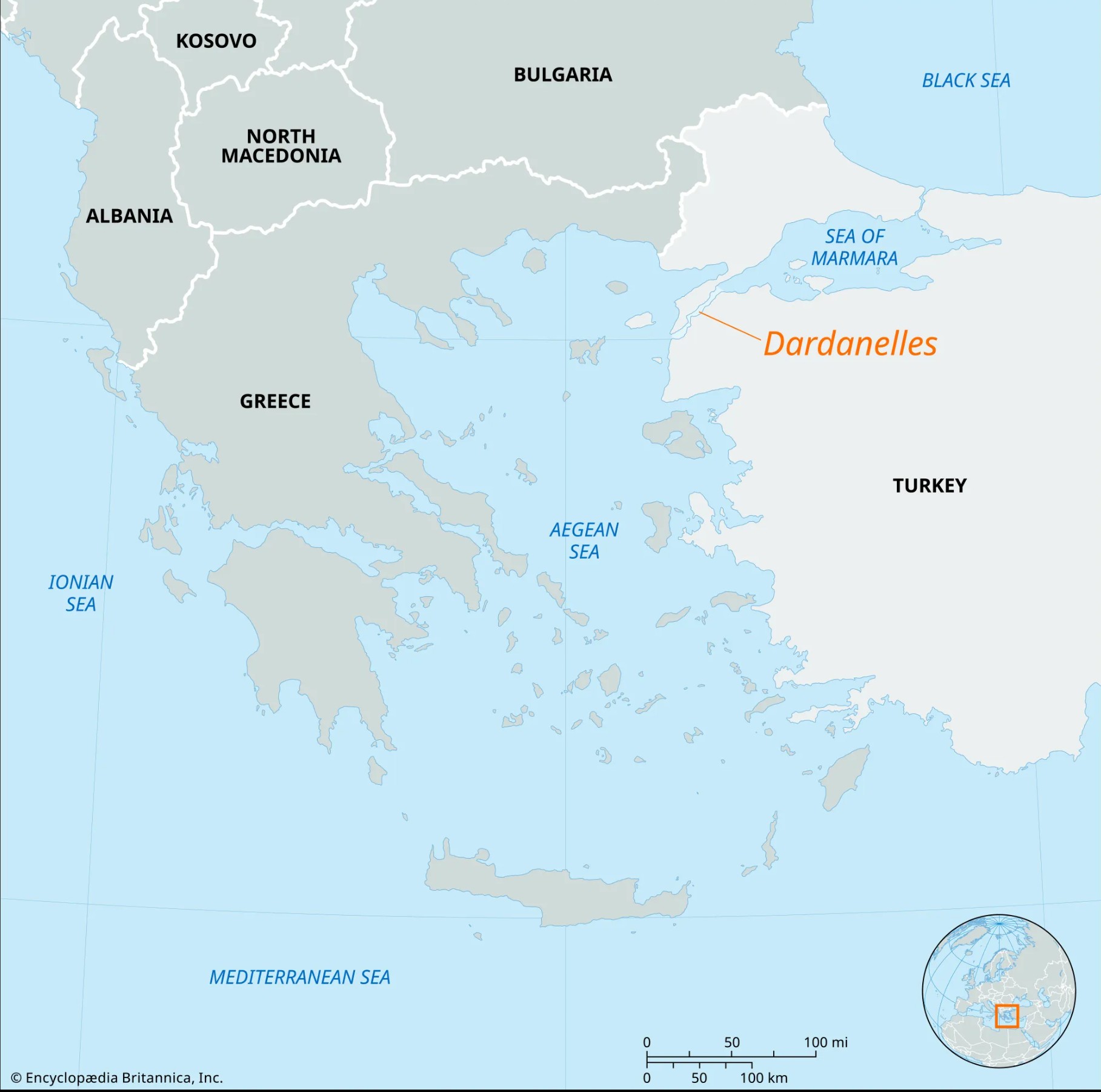
- Location: Separates the Gallipoli Peninsula (Europe) from Anatolia (Asia), lying entirely within Turkey’s territorial waters.
- Connectivity: Links the Aegean Sea to the Sea of Marmara, and with the Bosphorus Strait, forms the Turkish Straits system, connecting the Mediterranean to the Black Sea.
- Hydrology: Two-way currents – surface flow from Marmara to the Aegean, undercurrent in the reverse direction.
- Ports: Major ones include Gallipoli, Eceabat, and Çanakkale.
Strategic and Economic Significance
- Maritime Trade: Nearly 46,000 vessels crossed the Dardanelles in 2024, underscoring its role as a global shipping artery between Europe and Asia.
- Chokepoint Status: Serves as a gateway to Istanbul and the Black Sea, shaping regional power dynamics.
- Fisheries: Rich in migratory fish species, supporting local economies.
- Geopolitical Role: Critical for Turkey’s strategic influence, NATO security, and Black Sea maritime routes.
Historical Importance
- Known in antiquity as the Hellespont.
- Greek mythology: Associated with the tale of Hero and Leander.
- Ancient campaigns: Xerxes I of Persia crossed via a pontoon bridge (480 BCE); Alexander the Great crossed during his conquest of Asia (334 BCE).
- Modern conflicts: Key battleground in World War I’s Gallipoli Campaign, where Allied forces attempted but failed to seize control.