Arctic Biome: From Carbon Sink to Carbon Source
- 11 Apr 2025
Context:
- The Arctic biome, primarily a treeless tundra, spans approximately 11.5 million km² and includes regions in Canada, Greenland, Iceland, and Eurasia.
- It is characterized by permafrost (permanently frozen ground) close to the surface, limiting plant root growth.
- Vegetation consists of grasses, lichens, mosses, and low shrubs, while fauna includes polar bears, arctic foxes, caribou, musk ox, and migratory birds like snow geese.
- Climatic conditions are harsh, with temperatures ranging from -60°C in winter to 15.5°C in summer, and annual precipitation between 150–250 mm, mostly as snow.
- Despite nutrient-poor soils, the biome has functioned as a major carbon sink by storing carbon in peat and humus.
The Arctic Boreal Zone (ABZ) and Carbon Dynamics
The Arctic Boreal Zone (ABZ), which includes tundra, coniferous forests, and wetlands, has historically played a crucial role in global carbon sequestration. Its coniferous forests form the largest land-based biome on Earth.
However, recent studies, including one in Nature Climate Change (2025), indicate that over 30% of the ABZ has shifted from being a carbon sink to a carbon source. This reversal is primarily driven by:
- Permafrost thawing: Warmer topsoil temperatures lead to decomposition of organic matter, releasing CO? and methane.
- Frequent and intense wildfires: These burn organic-rich soils, releasing large volumes of carbon.
This transition creates a positive feedback loop: Wildfires release carbon → global temperatures rise → permafrost thaws → more emissions → more fires.
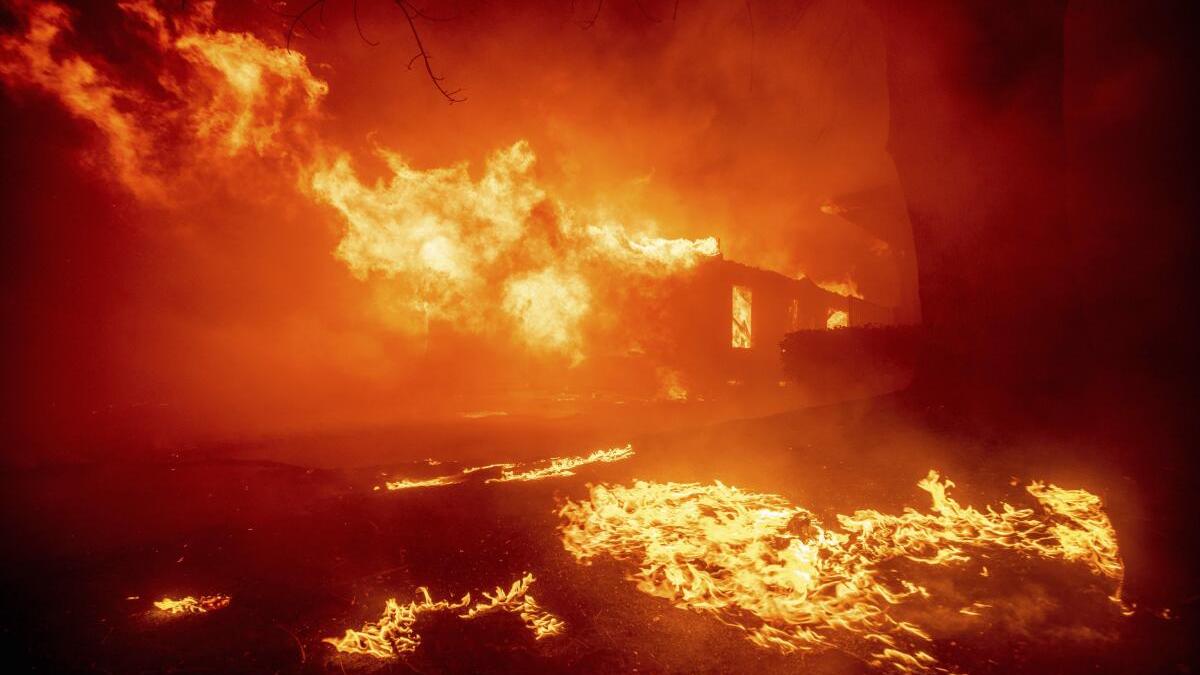
Fire Trends and Global Impact
Data from the Copernicus Atmosphere Monitoring Service (CAMS) reveal that wildfires released 800,000 tonnes of carbon in January 2025 alone, nearly 4 times more than in the same period a decade ago.
Key wildfire incidents include:
- Texas and Oklahoma (USA): Destroyed 14,000+ structures, burned 16,000 hectares, and displaced thousands.
- Ofunato City (Japan): One of the country’s largest fires in 50 years, affecting nearly 2,900 hectares.
According to the India State of Forest Report (Dec 2024):
- Uttarakhand recorded the highest number of forest fires (5,315 fires) between Nov 2022–June 2023.
- However, fire hotspots are declining: 2.23 lakh (2021–22) → 2.12 lakh (2022–23) → 2.03 lakh (2023–24).
India’s Changing Fire and Climate Profile
Research by IIT Kharagpur and the Indian Institute of Tropical Meteorology shows that land temperatures in northwest, northeast, and central India are rising by:
- 0.1–0.3°C/decade (pre-monsoon)
- 0.2–0.4°C/decade (post-monsoon)
This trend has led to earlier, longer, and slower-moving heatwaves, increasing wildfire vulnerability. India emits an estimated 69 million tonnes of CO? annually from forest fires.
Key Findings from the 2024 Arctic Report Card (NOAA)
The U.S. National Oceanic and Atmospheric Administration (NOAA) confirms that the Arctic tundra is becoming a carbon source, exacerbated by fossil fuel pollution and recurrent wildfires. According to NOAA, this shift reflects persistent, long-term climate trends, not mere variability.
A global study of 200 monitoring sites (1990–2020) found:
- Alaska contributed 44% of the ABZ’s new carbon emissions.
- Northern Europe and Siberia added 25% and 13%, respectively.
- Non-summer months now emit more carbon than the entire summer absorption.
Historical fire events like the 2003 Siberian fires and the 2012 Timmins fire (Canada) significantly accelerated this trend.