National Geospatial Mission
- 03 Feb 2025
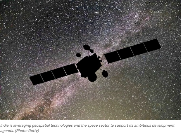
In News:
Finance Minister Nirmala Sitharaman announced the launch of a National Geospatial Mission in the Budget 2025-26.
Key Highlights:
Objective: To modernize land records, enhance urban planning, and create a robust geospatial infrastructure to support India’s broader development goals, including sustainable growth, efficient governance, and improved public service delivery.
Key Features of the Mission:
- Modernization of Land Records:
- Digitization and updation of land records using geospatial technology.
- Aim to reduce land disputes and promote efficient and transparent land use.
- Urban and Infrastructure Planning:
- Provides high-resolution geospatial data for informed urban planning.
- Supports better design and execution of infrastructure through integration with the PM Gati Shakti framework.
- Development of National Geospatial Data Infrastructure (NGDI):
- Integrates geospatial data from multiple departments and ministries.
- Enables seamless access and interoperability for users across sectors.
- Open Geospatial Data Policy:
- Encourages private sector participation by allowing access to non-sensitive, high-resolution data.
- Reduces reliance on foreign geospatial data providers.
- Sectoral Impact:
- Agriculture: Precision farming, resource mapping, and yield optimization.
- Disaster Management: Enhances early warning systems and response planning.
- Environmental Monitoring: Facilitates conservation, deforestation tracking, and ecosystem health analysis.
- Transportation: Improves logistics, routing, and infrastructure placement.
- Climate Monitoring: Aids in data-driven climate action and adaptation planning.
- Technological Integration:
- Utilizes emerging technologies such as AI, drones, and quantum computing for spatial data collection and analysis.
- Promotes research and development in geospatial science to drive innovation.
- Support to Private Sector:
- Anticipated growth in demand for services from geospatial startups, drone companies, and mapping enterprises.
- Strengthens India’s indigenous geospatial capability aligned with the booming global geospatial market (projected to reach $1,064 million by 2030).
Significance and Alignment with National Goals:
- Enhances transparency and efficiency in land governance.
- Contributes to sustainable urban development.
- Aligns with Digital India and Atmanirbhar Bharat by reducing data dependency on foreign sources.
- Acts as a foundational enabler for India’s development agenda, particularly in areas of resource management, climate resilience, and national security.