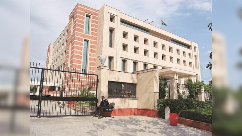
CAG and BISAG-N collaborate to enhance auditing through advanced Geo-spatial Technologies

- 31 Mar 2025
In News:
The Comptroller and Auditor General (CAG) of India has entered into a significant partnership with the Bhaskaracharya National Institute for Space Applications and Geo-informatics (BISAG-N) to leverage advanced technologies in geographic information systems (GIS), remote sensing, and satellite image analytics for strengthening audit processes.
About BISAG-N
- Institution Profile: BISAG-N is an autonomous scientific society under the Ministry of Electronics & Information Technology (MeitY), Government of India, located in Gandhinagar, Gujarat. It operates under the Societies Registration Act, 1860.
- Core Domains: The institute specializes in satellite communication, geo-informatics, and geo-spatial technologies.
- Functions: BISAG-N develops and manages GIS databases, creates and updates maps, conducts data migration and format translation, provides software customization and systems integration, and offers technical consulting for large-scale GIS implementations.
- Applications: It delivers comprehensive geo-spatial solutions including photogrammetry, cartography, remote sensing applications for agriculture (crop monitoring), watershed management, forest fire mapping, and environmental resource management.
- Collaborations: BISAG-N works closely with central ministries and state government agencies to support planning and development activities using space and geo-spatial technologies.
Details of the CAG-BISAG-N Partnership
- Objective: The partnership aims to integrate cutting-edge geo-spatial tools such as Artificial Intelligence (AI), Machine Learning (ML), and Big Data Analytics into the CAG's audit methodologies. This will enhance audit accuracy, efficiency, and accountability.
- Key Focus Areas:
- Developing customized geo-spatial solutions and platforms for audit analysis.
- Utilizing data available from government initiatives like PM GatiShakti for comprehensive audit evaluations.
- Conducting joint research in geo-spatial analysis, remote sensing, and satellite image analytics.
- Organizing training and capacity-building programs to equip CAG officials with skills in geo-spatial technologies.
- Significance: This collaboration reflects the CAG’s commitment to adopting digital public infrastructure and technological innovation, enhancing governance, and reinforcing financial accountability in India’s public institutions.
