River Basin Management Scheme
- 19 Apr 2026
In News:
Water security is a cornerstone of national stability, supporting agriculture, industry, and ecological health. In India, the complexity of transboundary rivers and diverse climatic zones necessitates a shift from fragmented water use to Integrated Water Resources Management (IWRM). The River Basin Management (RBM) Scheme, a central sector initiative under the Ministry of Jal Shakti, serves as the institutional bedrock for this transition, focusing on the sustainable development of both surface and groundwater.
Overview and Institutional Framework
The RBM Scheme is implemented by the Department of Water Resources, River Development, and Ganga Rejuvenation. It functions through three specialized nodal agencies:
- Central Water Commission (CWC): Focuses on surveys, investigations, and the preparation of Detailed Project Reports (DPRs) for irrigation and hydropower, particularly in the Indus, Brahmaputra, and Teesta basins.
- Brahmaputra Board: Manages flood control, bank erosion, and drainage improvement in the North Eastern Region (NER), including the Brahmaputra and Barak valleys.
- National Water Development Agency (NWDA): Leads the Interlinking of Rivers (ILR) program, conducting feasibility studies for inter-basin water transfers.
Strategic Scope and Financial Outlay
The scheme prioritizes strategically sensitive and water-rich but underdeveloped regions, including the Indus Basin (J&K and Ladakh) and the North Eastern Region.
- 16th Finance Commission Period: The Union Government has approved the continuation of the scheme from 2026–27 to 2030–31.
- Financial Commitment: A fully funded outlay of ?2,183 crore has been allocated, a significant increase from the ?1,276 crore allocated in the previous cycle (2021–26).
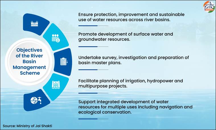
Core Objectives and Action Areas
The RBM framework is designed to move beyond traditional engineering to a holistic "ecosystem approach":
- Basin Planning: Developing and updating Master Plans that act as long-term roadmaps for resource conservation and utilization.
- Modern Survey Techniques: Leveraging advanced technologies such as GIS, Remote Sensing, LiDAR (Light Detection and Ranging), and Drone-based surveys to enhance planning accuracy in difficult terrains.
- Flood and Erosion Management: Implementing critical structural interventions, such as bank revetment and spurs, to protect vulnerable areas like Majuli Island in Assam.
- Community Interventions: Strengthening local resilience through Springshed management and the integration of indigenous water management practices with modern scientific methods.
Measurable Outcomes and Progress (2021–2026)
The scheme has achieved several milestones that bolster India's hydro-diplomacy and internal water security:
- Infrastructure Readiness: Completion of DPRs in remote Himalayan regions, creating a pipeline for future hydropower and irrigation investments.
- Interlinking Progress: The NWDA has identified 30 river links; feasibility reports for 26 and DPRs for 15 (including the Kosi–Mechi link) have been finalized.
- Erosion Control: Successful post-construction bank revetment works (e.g., at Sumoimari, Majuli) have mitigated the devastating impact of the Brahmaputra’s annual floods.
- Capacity Building: Providing technical support to "Special Category" states (Sikkim, Mizoram, Manipur, etc.) that lack the independent financial capacity for large-scale water planning.